top of page
ABOUT
WE TAKE PICTURES FROM ABOVE
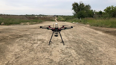
DRONE TEAM
Our team has been involved in the mapping industry for over 19 years. We have mapped in excess of 300,000 hectares of land for green field projects and commercial activities.
We have also assisted with the planning of over 80,000 hectares of irrigation schemes, determined various land clearing areas and dam volumes as well as assisted with various infrastructure plans (roads, power lines and pipelines).
Our team is both flexible and openminded and our approach to finding the right solution for the job, gives us a competitive advantage in the field.

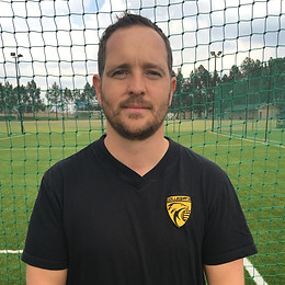
Manager / Pilot
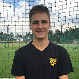
Manager / Pilot Assistant
Sales / Orders / Marketing
bottom of page